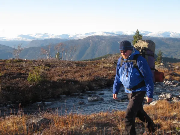
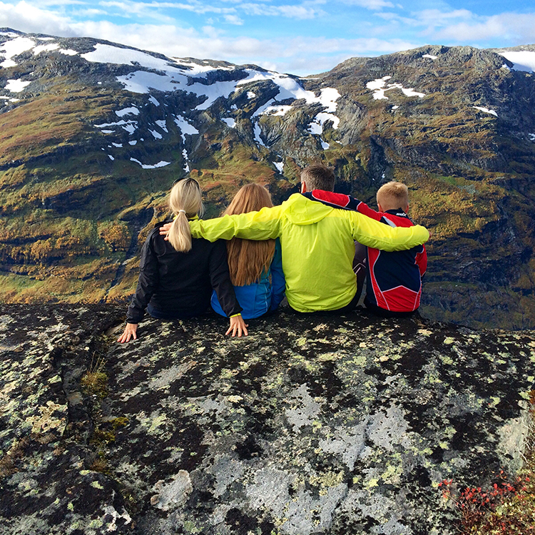
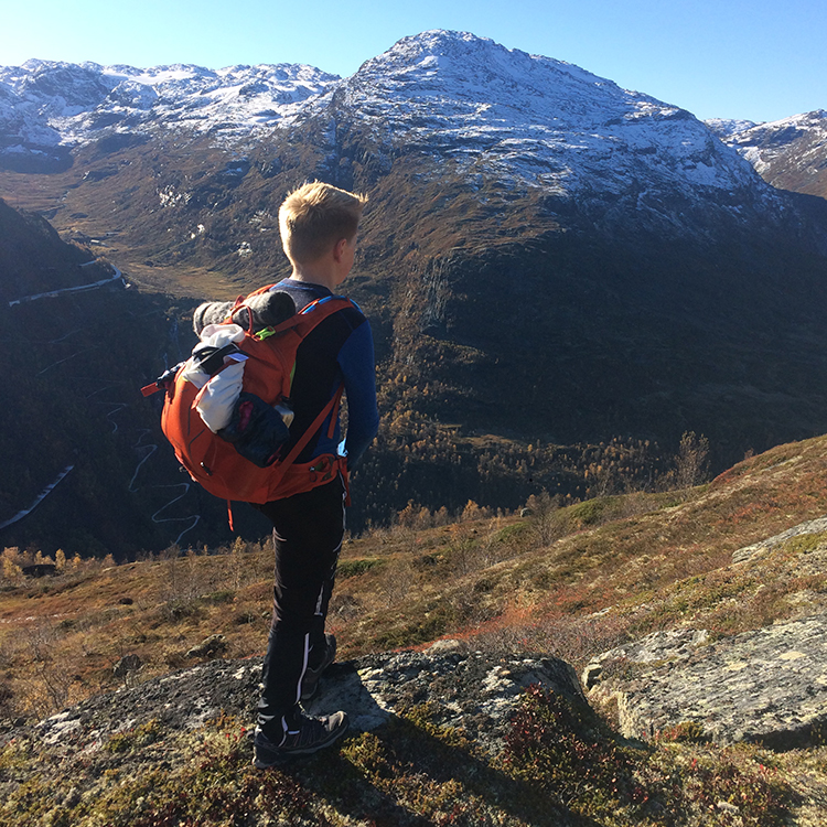
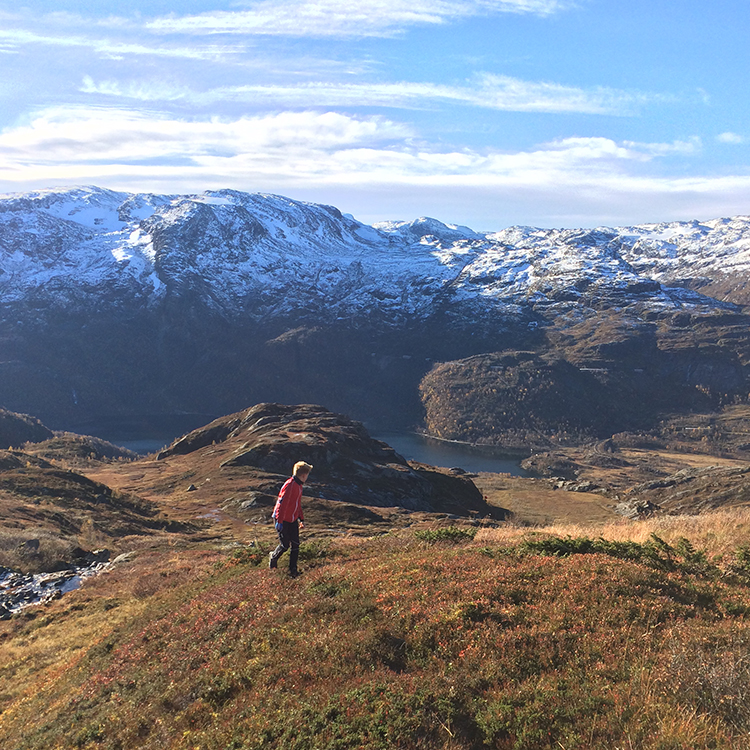
GREAT HIKING OPPORTUNITIES
At Vatnahalsen you can go hiking in the woods, down the valley or up the mountain – there are a number of hiking possibilities in all directions, and you can reach beautiful views on both short trips and longer day trips. Why not bring a camera and binoculars to explore the rich wildlife? Remember that reindeer tends to pull against the wind, so consider wind conditions to increase your chances of seeing one.
Here are a few alternative hiking routes in the area:
Seltuft 4 km – Hallingskeid 16 km – about 4 hours
An easy walk along the Rallar road. The road is along the Reinunga lake to Kaldaklov, continues to the Seltuft lake and further on to Seltuft. The walk offers a beautiful scenery, an abundant flora and some waterfalls. The walk is suitable for a family with children. From Seltuft you can go on to Hallingskeid by ascending the Kleven gorge. The ascent is steep, but you wont regret the effort. Here you will experience a wild and beautiful scenery with waterfalls and steep mountainsides, bright colours and a rich flora. At the top of the gorge you can see the spectacular bridge on the Bergen Railway. The bridge was constructed by hand 100 years ago. The road continues along the Kleven lake and up the valley along the Grøndalen lake. Finally you reach Hallingskeid, a station on the Bergen Railway. Be aware that all the trains don`t stop here. This is a nice day trip. If you don`t like any steep hills, we recommend you to go by train to Hallingskeid and hike from there to Vatnahalsen.
Skjerbergnuten – 9 km – some 3 hours, both ways
This is a nice hike on a marked path and not too demanding. Cross the river above Kjosfossen waterfall, walk along the Reinunga lake by the chalets. The path is marked by small rock towers and goes up a steep hill. From the hill there is a magnificent view of the Reinunga lake, the Seltuft lake, the Kjosfossen waterfall, the Flåm Railway and parts of the Bergen Railway. The path continues westward along the ridge towards Skjebergnuten. Here the flora changes because we are above the tree-line. The highest point, 1164 meters above sea level is marked, and from here there is a magnificent view towards Myrdalen and Ugjersdalen valleys, down the Flåm valley and eastward towards Seltuft/Hallingskeid.
Tarven mountaintop – 16 km 7-8 hours, both ways
A day`s hike to a mountaintop with a spectacular view. This hike requires experience with the mountainside, knowledge about map and compass and solid boots. The ascent is 995 metres. The initial part is the same as towards Skjebergnuten. After the first top, the path splits and goes northeast. The path crosses the valley by the Reinunga mountain farm. From there the path continues straight north, and it is marked with red T`s and small towers of rocks. There are some places with rounded rocks, and some brooks have to be crossed, but still the hike is of intermediate difficulty. Tarven is located 1700 metres above sea level, and on fine days you can see Rondane, Galdhøpiggen and Hårteigen on the Hardangervidda mountainplateau. We don`t recommend the hike in periods with rainfall, and it is not suitable for children.
These are only some of the options you have. For more alternatives contact our reception.
For routes marked by DNT in this area, check out the Norwegian Trekking Association.